The Wall that DIVIDED Britain In Two


Paul Whitewick
@pwhitewickAbout
Hello and welcome. I'm Paul Whitewick, I seem to have developed a passion for making short films about the Landscape here in Britain. My passion for abandoned Railways and Canals soon spilled over into Roman Roads, ancient trackways and countless stories I can tell as I walk the Landscape. I have a degree in Environmental Science, but thats about it, other than a pair of decent walking shoes! I am a wannabee archaeologist who loves telling the stories I learn about week on week. So if thats your thing, click subscribe and I'll see you in the next video.
Latest Posts


Video Description
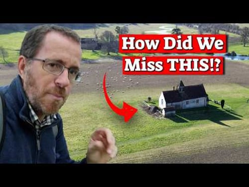
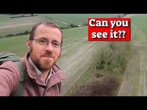
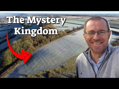
For a short while now I have been aware of a significant bank and ditch cutting through a significant part of the landscape. It cuts through a Roman Road, so I wondered if anyone knows anything about it. Has anyone dug here, can we learn more about it on site. Turns out this could well be one of the most important features in southern Britain. Why ever are we not talking about this more? Join this channel to get access to perks: https://www.youtube.com/channel/UCJV1EC8Mf87PpQYo9eUfd3Q/join OR Patreon: https://www.patreon.com/PaulandRebeccaWhitewick Videos To Watch Next: The Wall that Divided Britain: https://youtu.be/5Va8k0KQfZU The Mystery Stonehenge Altar Stone: https://youtu.be/MYTlerD5fjU?si=DQwjVaCzYjV1nbLF Usual notices: 1. We are not historians or Academics. We enjoy researching and learning, and with that we enjoy sharing our journeys with you. That said, sources for information often listed below with credits. 2. Corrections. Whilst we make every attempt to not include any errors, research, and piecing stories together from dozens of sources sometimes leads to one or two. I will note here if any are found: Errors 1. As ever, a new video, a new word made up on site. Did you spot it? Credit and thanks for assets Long UK Maps: https://mapswire.com/maps/united-kingdom/ Filter: Snowman Digital and Beachfront B-Roll Maps: Google Maps and Google Earth Studio Maps: National Library of Scotland Maps: OS Maps. Media License. Stock Footage: Storyblocks Music: Storyblocks, epidemicsound and artlist Old Map: NLS - https://www.nls.uk/ Credit for images/footage: All included in video unless CC: Honoruis Coin: Classical Numismatic Group Claudius Gothicus coin: Museum of fine arts Boston All August Pitt Rivers workings: See Archieve below. Sources: Decent archaeological run down from all era’s: https://web.archive.org/web/20120930231906/http://www.pastscape.org.uk/hob.aspx?hob_id=906268 HE Listing: https://historicengland.org.uk/listing/the-list/list-entry/1012135?section=official-list-entry Pitt Rivers notes: https://archive.org/details/excavationsincra03pitt/page/3/mode/1up https://www.prehistoricsociety.org/sites/prehistoricsociety.org/files/resources/ps-signpost_bokerley-dyke.pdf Colt Hoare Bits https://foundationsofarchaeology.wordpress.com/tag/colt-hoare/
You May Also Like


Historical Wall Enthusiast's Kits
AI-recommended products based on this video
